

Antarctic scientists have combined measurements provided by an underwater robot with existing satellite data to show that Antarctic sea ice may be thicker than previously thought. Their first-of-a-kind high-resolution 3D maps cover over 500,000 square meters (5.4 million sq ft) in the Weddell, Bellingshausen, and Wilkes Land sectors of Antarctica, and they reveal heavy deformation in all three near-coastal regions that produces mean sea-ice draft (thickness of the submerged part of the ice) far in excess of ice drilling and ship-based measurements. This is a big leap forward in our ability to understand why and how the ice is changing on both small and large scales.
via Gizmag
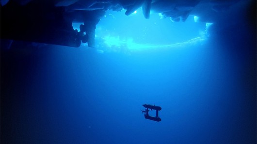
Image: Klaus Meiners/Woods Hole Oceanographic Institution