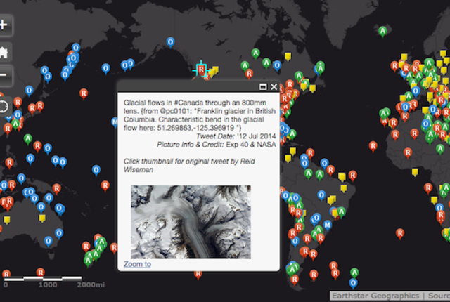
There’s not a lot of downtime for the astronauts on the International Space Station. When they’re not busy running scientific experiments, they’re getting in some exercise or doing space walks. But luckily for the earthbound, they make time to snap gorgeous photos of our planet in a way we’d otherwise never get to see them, and then post those photos on Twitter.
Now, all of those photos from ISS Expeditions 40 and 41 have been catalogued into one interactive map—created by Dave MacLean of Nova Scotia’s Centre of Geographic Sciences—that allows users to easily find the photos, look at them, and discover if astronauts have snapped a space photo of their hometowns.
via Mental Floss
September 1, 2014
featured blogs
Apr 24, 2024
Learn about maskless electron beam lithography and see how Multibeam's industry-first e-beam semiconductor lithography system leverages Synopsys software.The post Synopsys and Multibeam Accelerate Innovation with First Production-Ready E-Beam Lithography System appeared fir...
Apr 24, 2024
Diversity, equity, and inclusion (DEI) are not just words but values that are exemplified through our culture at Cadence. In the DEI@Cadence blog series, you'll find a community where employees share their perspectives and experiences. By providing a glimpse of their personal...
Apr 18, 2024
Are you ready for a revolution in robotic technology (as opposed to a robotic revolution, of course)?...